SESI is hiring for Geotechnical, Environmental, and Site Civil positions. Apply Now!


Small Engineering Firms
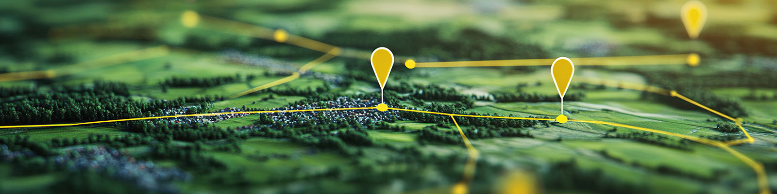
Why GIS Matters for Your Environmental Practice
As a small environmental consulting firm, your time and resources are precious. Geographic Information Systems (GIS) empower you to deliver data-driven insights, communicate more effectively with your clients, enhance regulatory compliance, and much more. SESI Consulting Engineers leverages Geographic Information Systems as a core decisions support tool to enhance environmental engineering services and project outcomes for clients across New Jersey.
What GIS Does for Your Firm
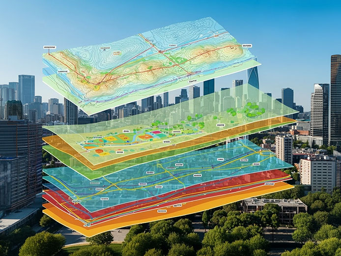
Visual & Analytical Clarity
Build map-based insights from NJDEP wetlands, soil types, zoning, floodplains, and impervious coverage—helping you plan proactively before permit deadlines.
Enhanced Regulatory Support
GIS-driven mapping for wetland delineations, buffer analyses, and NJ Highlands/Pinelands zone compliance reduces rework and accelerates approvals.
Data-Driven Field Workflows
Use mobile-enabled apps like Collector or Survey123 for geotagged sampling, field conditions, and instant shapefile exports, streamlining field-to-report cycles.
Publication-Ready Deliverables
Professionally styled, high-resolution maps for inclusion in Phase I/II reports, site remediation plans, and stakeholder presentations.
What We Offer
Custom Mapping
- Maps to order including:
- Phase 1 figures
- Phase 2 figures (location plans, exceedance figures (aka spider maps)
- GW contour figures
- Other figures on an as needed basis
- Historical aerial imagery & land cover change detection
- Floodplain mapping & soil classification (SSURGO/ NRCS)
Analytical Insights
- Identify patterns and associations that do not show up in spreadsheets
- Interpolate missing information
- Model contamination plumes for a site
- Create 3D models of a site
- Determine site suitability
- Predict the life span of an asset
- Improve emergency management practices
Data Management Strategies/ Field Data Collection
- Cloud based data storage
- Mobile GPS-enabled data apps for environmental surveys
- Real-time geotagged photo collection
- Rapid reporting
Report-Ready Visuals
- Publication-quality maps for client reports & submissions
- Visual storytelling for stakeholder presentations
Custom Web Applications:
- Turn stored data into visually interesting dashboards/story maps
Digital Deliverables For NJDEP:
- CEA deliverables
- Deed Notice deliverables
Regulatory & Permit Support
- Wetland delineation mapping (NJDEP)
- Buffer and impact analysis for permit applications
- NJ Highlands, Pinelands, CAFRA & Flood Hazard Area assessments
- Two blog links:
- https://www.sesi.org/news/manage-natural-impacts-with-natures-tools-the-wetlands
- https://www.sesi.org/news/the-expanded-jurisdiction-of-new-york-states-freshwater-wetlands-act
Tools We Use
- Esri ArcGIS / QGIS
- NJDEP GIS layers & Open Data
- Client Data including
- Mobile survey apps (Field Maps, Survey123)
- Manually collected data
- Shape Files .SHP
- Drone imagery
- LIDAR / Elevation data
- Trimble GIS data
Why Choose SESI
- Industry expertise in NY/NJ environmental regulations
- Fast turnaround & scalable to project size
- Personalized support